Chalk stream springs naturally move, changing the immediate landscape around them; but developments in the landscape can also change where chalk springs rise.
Throughout 2017, the Wandle Trust worked with a team of volunteers to locate and document the River Wandle’s sources as they’ve moved through recent history.
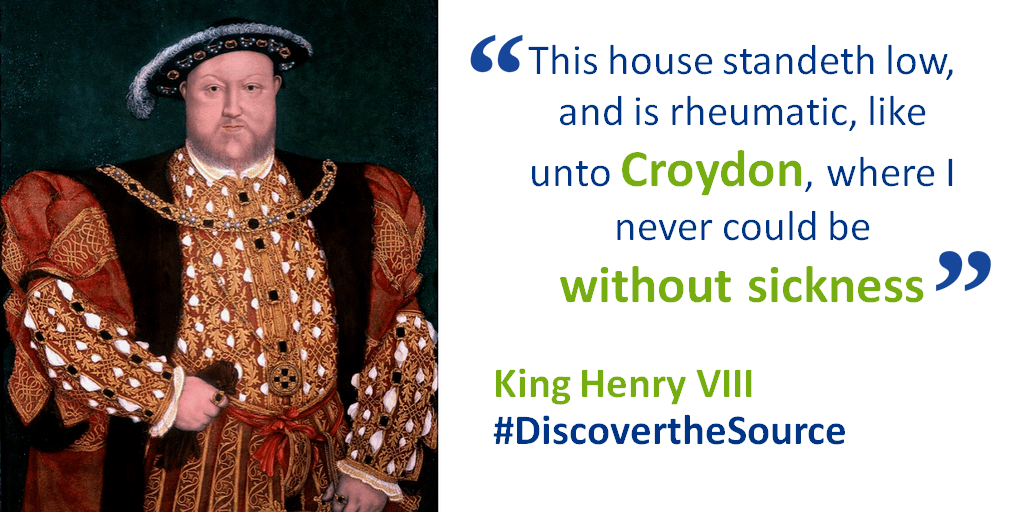
Across a number of guided walks, the team looked for signs of water (both past and present) in Carshalton and Croydon around the current sources of the Wandle. Using local archives they researched written accounts of the Wandle’s past, referenced old photographs and referred to historic maps, to develop a concise story of how the river has changed over time.

A pop-up exhibition was created and launched at Sutton Library in July 2017. It then went on tour to Merton Heritage Centre for Wandle Fortnight in September 2017 and is now used by the Wandle Trust as a pop-up at events.
Three self-guided walks and trail maps were created to encourage people to explore the landscape of the sources of the Wandle and learn more about the current challenges faced by the river. View the three trail maps below by clicking on the buttons.
Walk 1 - Carshalton Walk 2 - Croydon Walk 3 - Carshalton / Croydon
If you are interested in finding out more about this project, or would like to host the pop-up exhibition, contact the Wandle Trust at: information@wandletrust.org / 0845 092 0110
This project is part of the wider Living Wandle Landscape Partnership Scheme, supported by the National Lottery through the Heritage Lottery Fund.