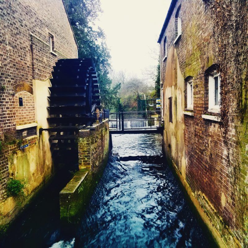
Mills have shaped the identity of the River Wandle for hundreds of years. It’s thought that as many as 90 water wheels operated along its banks, powering mills from copper-working to tobacco milling, resulting in a lasting legacy as being one of the hardest working rivers of its size in the world during the Industrial Revolution.
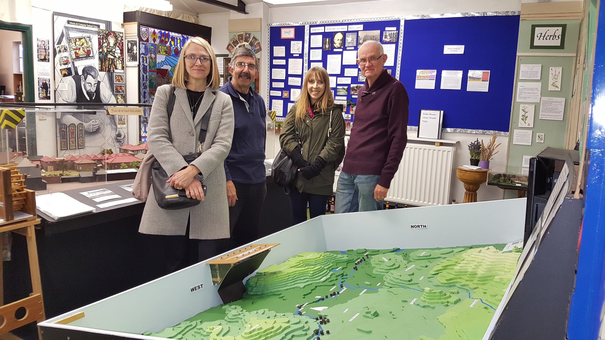
Throughout 2017, The Building Exploratory expanded on research carried out by the Wandle Industrial Museum, to locate and map the industrial mills of the River Wandle.
Research into the Wandle’s mills been carried out to different extents by other groups in the past. The aim of this project was to collate and expand on existing research to document the full suite of historical mills in an engaging way, whilst sharing their story with local communities and visitors.
A team of volunteers learnt how to use local archives, interpret historical landscapes, undertake historic map research and create self-guided walks.
They worked alongside The Building Exploratory and Wandle Industrial Museum to research, document and map the mills that formed part of the river’s rich industrial history.
Download a ‘Guide to Mills of the Wandle & Trail Map’ – and explore the Wandle’s heritage for yourself!
Wandle Mills Trail Map
This project was part of a wider industrial heritage recording scheme coordinated through the Living Wandle Partnership including Treasures of the Wandle and History Under Our Feet.
The Wandle Industrial Museum holds lots of fascinating information about the river and its industrial past – check their website for opening times.
This project is part of the wider Living Wandle Landscape Partnership Scheme, funded by the National Lottery through the Heritage Lottery Fund.
![]()